
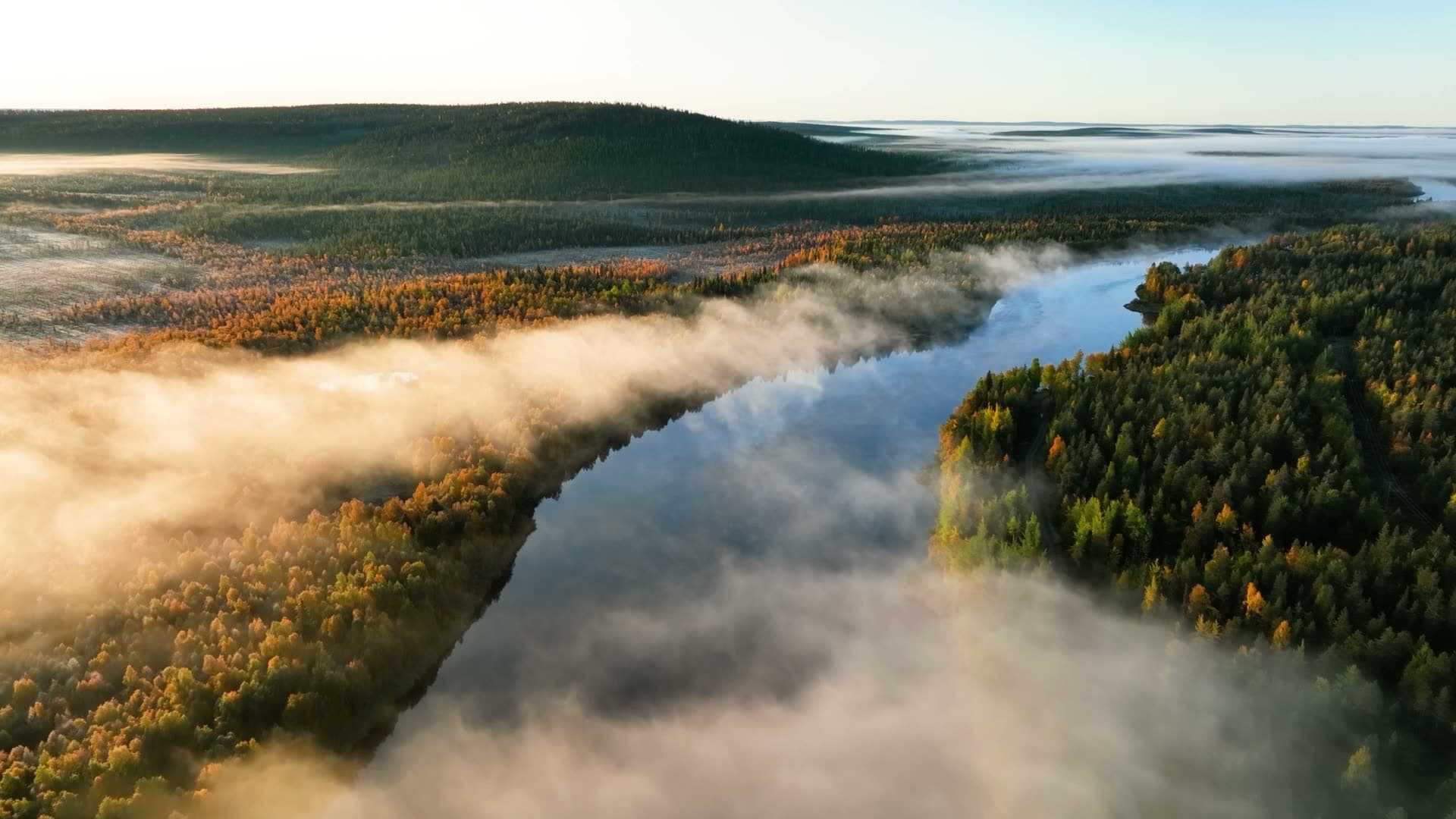
Reinventing tree inventory
We analyse every individual tree from aerial imagery – species, volume, health and damage. The basis for your decisions becomes a measurement instead of an estimate.
600M+
trees analysed since 2019
13
countries
−3.34%
volume deviation vs. harvester data
95%
accuracy on damage identification
Go straight to the right place
What do you manage?
- I own forestDamage inventory, an updated plan, or valuation ahead of harvest.
- I am buying a forest propertyKnow the damage, volume and upcoming work before you bid. Green forest management plan included.
- I buy timberScreen areas digitally and enter the deal with the right numbers.
- I am a manager or plannerTree-specific data that works with Skogshubben, pcSkog, Icebound, Forsler, Esri, QGIS and Trimble.
- We are a forest companyLarge-scale, recurring inventory across the entire holding.
- We are a municipalityTree database, per-tree damage analysis and a 3-30-300 baseline.
- We own infrastructureEncroachment valuation along power lines, rail or roads.
Our technology
Tree management through advanced technology and AI
Arboair leads the shift towards digitised, sustainable and precise tree analysis using image and data analysis.
Our tree inventory data gives you a comprehensive overview of your forest. Monitor tree count, species, health and more – simply and smoothly. Use the data to optimise operations and make well-founded decisions.
At Arboair we combine nature and technology to create sustainable solutions for the forest industry. Our AI-driven software turns aerial imagery into tree insights and gives companies the tools they need to thrive.

Cities
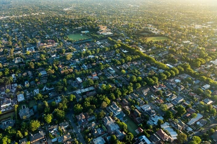
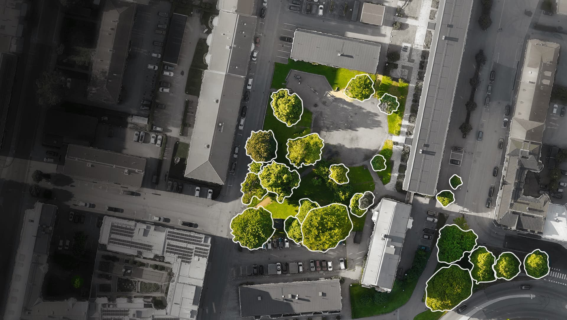
We map cities with high-resolution aerial imagery in hours instead of weeks, cutting inspection costs by up to 90% and enabling compliance with the 3-30-300 principle at the same time.
We provide class and damage analysis for every individual tree, helping you direct tree care, allocate budgets and prioritise new plantings based on clear facts.
Read more →
The forest industry
Our automated digital forest inventory gives you up-to-date tree-specific data on species, health and risks, so you can detect problems early, plan harvests precisely and manage risk with confidence.
Airborne monitoring replaces slow field surveys, saving time, reducing waste and increasing profitability.
Read more →Get started without talking to sales
See what the data actually shows — free
You do not need to book a meeting to form a view. Start with one of these.
Interactive map
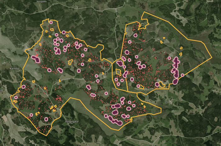
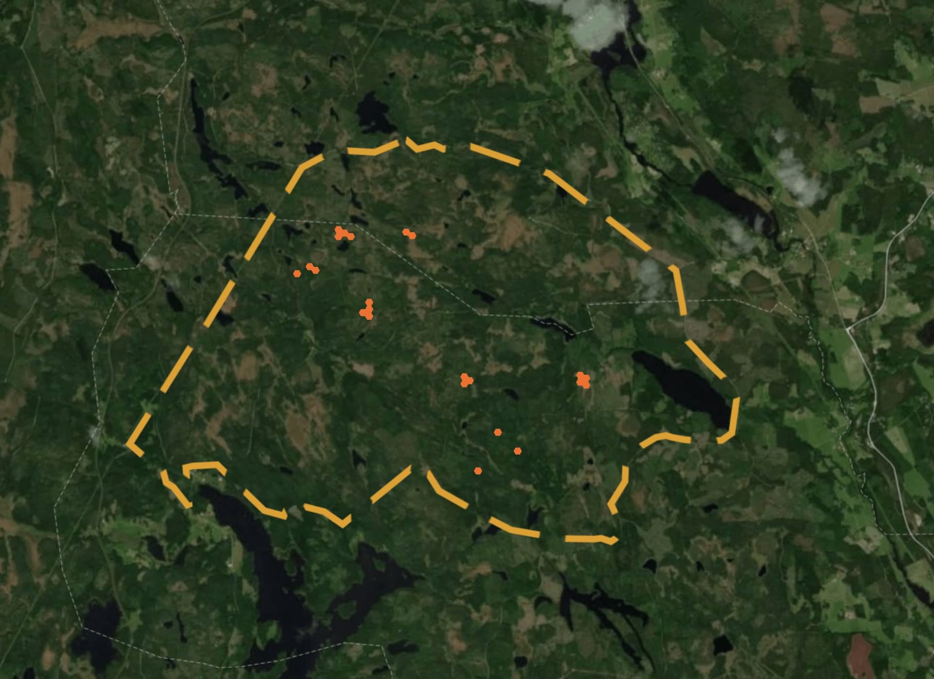
See a real bark beetle analysis
Explore an actual analysis tree by tree – exactly where the damage is, how many trees are attacked and what should be dealt with first.
Open the map →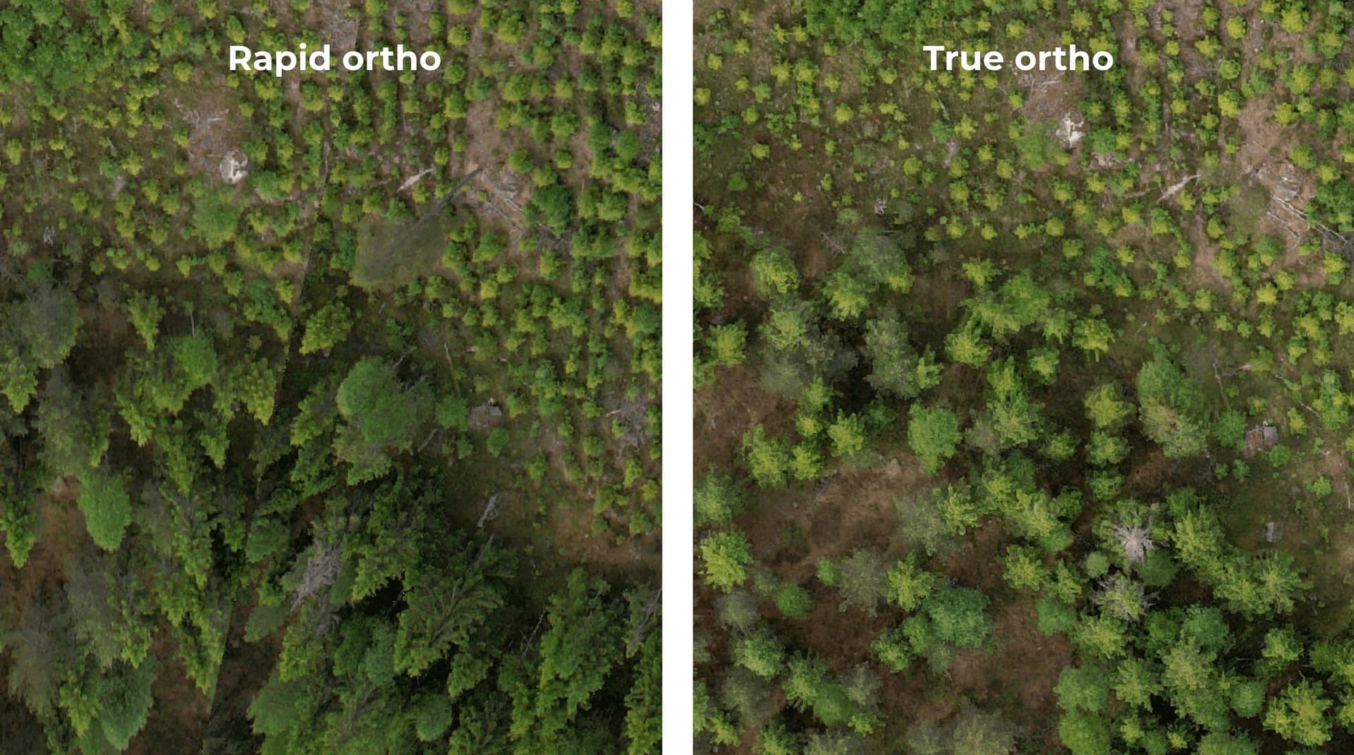
Free every month
300 hectares of orthophoto at no cost
Upload your own drone imagery and process up to 300 hectares per month for free. The first 50 hectares of AI analysis are included. No credit card, no contract.
Create an account →What our customers say
“I act much faster and share the results with the harvester operator with high precision.”

Ulrika Sjökvist
Forest owner
“The analysis finds what I miss, and I can show the results to my forest owners.”
Axel Ekström
Forest services
“It is good, time-saving and raises quality for the entire forest industry.”
Axel Wretemark
Södra forest owners
“It makes our work easier and has great potential for the industry – both now and in the future.”
Christian Syk
Holmen
“We have never had a decision basis of this quality. This inventory would never have happened without Arboair's technology.”
Henrik Pålsson
Head of purchasing, Holmen
“With Arboair's data, planning goes several times faster and with better precision than conventional forest estimates.”

Jonathan Samuelsson
Forest planner, Ydre Skog och Äng
Trusted by







FAQ – Questions and answers
What is the economic benefit of digital tree-level inventory for a forest company?
Arboair's calculated ROI per million m³sk per year is 1.6–2 MEUR in the base case, 2.4–3 MEUR in the upside case and 3.6–4 MEUR in the stretch scenario. The benefit falls into five categories: more efficient harvesting (0.4–0.6 MEUR), more efficient transport (0.2–0.3 MEUR), improved assortment yield from pulpwood to sawlogs (0.3–0.6 MEUR), time savings in planning and production (0.2–0.4 MEUR) and reduced industrial downtime (0.4–1 MEUR). Sources are data from Skogforsk, the Swedish Forest Agency and customer data.
How does Arboair help timber buyers find more harvest sites?
Arboair's stand data allows timber buyers to screen large areas and identify harvest-ready stands without physically visiting each site. The inspector can prioritise field visits based on digital stand data – species, volume, damage – and approach the landowner with a fact-based offer before a competitor has even started screening.
Can Arboair identify forest damage such as windthrow and bark beetle attacks?
Yes. Arboair's AI analysis automatically identifies dead and damaged trees, windthrow and stem breakage with a precision, speed and scale that is not possible with manual inventory. The analysis is performed at individual tree level, which means the share of damaged trees per stand can be quantified and ranked for prioritised action.
Can tree volume be measured using drones?
Yes. Arboair's AI models calculate volume per individual tree from image data captured by drone. For each tree we identify tree ID, species, height, crown diameter, stem diameter (DBH) and volume in m³fub, and in some cases CO₂ and biomass. These data points are automatically aggregated to stand level. Validation against real harvester data from harvest sites shows an average volume deviation of -3.34 per cent, and the average price deviation was -0.26 per cent. Validation against full calipering shows a deviation in diameter at breast height of -0.03 cm across roughly 3,000 measured trees. This applies to standing forest. The analysis works equally well for standing forest as for damaged stands. In the case of forest damage – for example storm, stem breakage or spruce bark beetle attack – Arboair's AI automatically identifies and estimates the volume of dead and damaged trees at individual level, providing a direct basis for prioritising action and calculating timber value.
How quickly can Arboair deliver a damage inventory after a storm?
Analysis of a damaged area can be carried out in days rather than weeks. A manager who traditionally spends 75 working days manually surveying 7,500 hectares per year can complete the same review in roughly 20 days with Arboair's digital analysis. That time includes walking out to validate important areas. For storm damage, where fast action determines timber value, this delivers a direct economic advantage.
How many trees has Arboair analysed?
Since founding in 2019, Arboair has analysed more than 600 million trees across 13 countries. Customers include Södra, Mellanskog, Holmen, Norra Skog and Boxholms Skogar.
Is Arboair suitable for all types of forest actors?
Yes. Arboair's platform and AI models are adapted to the full breadth of forest actors – from private forest owners with smaller properties to professional managers and large forest companies with hundreds of thousands of hectares. For private forest owners, Arboair offers two ways to get started: either instructions for collecting image data yourself with a consumer drone, or a complete assignment where Arboair handles the entire data collection. The result is the same – tree-specific data on species, height, volume and damage delivered as a finished decision basis. For professional forest actors such as forest companies, timber buyers and managers, the platform is built for large-scale and recurring inventory of large areas and many properties, with the ability to integrate data directly into existing planning systems such as Skogshubben, pcSkog, VSOP and Esri applications.
Arboair is reinventing urban tree management and forestry
Get in touch if you would like to know more.